West Coast Needs to be Prepared – Update
Quick Update – Tonights forecast is on track and no updates are needed. Please see the graphic below from my friends at the NWS Oxnard, so everyone is prepared in SoCal for what is bearing down on us. If you are traveling into the mountains, I believe the snow levels are lower than what is forecasted…..so be prepared for winter weather while driving in them. Some areas could see a foot of snow at higher elevations.
(Click to Enlarge)

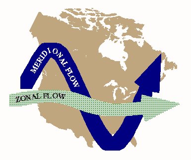
Some of my followers have asked if this is El Nino that is coming next week with all the rain forecasted this weekend through next week. Although the storm track is coming from a southern latitude, these storms have been splitting due to the high pressure ridge over ID/MT and Colorado, which has the majority of the energy directed towards Central CA and SoCal. I discussed this a few days ago on my blog post. As far as El Nino is concerned, there isn’t any significant signals or a warm convection in the El Nino regions to suggest it is El Nino. Since their hasn’t been significant blocking in the Eastern Pacific, no warm blob to create a high pressure dome, the Hudson Bay Low in the east hasn’t taken shape and locked into the Northeast, and we have had zonal flow into CA since December….these telleconnections and more have given SoCal much needed rain. Time will tell what happens next week and how much rain we will get, but rest assured it will be wet pretty much every day next week. I am will post an update on what the models are showing for next week, as they are flip flopping every 6 hours trying to determine what is going to take place next week.
Zonal Flow for next week:
More Later…..
–JM
