
Winter Storm Stella Update!!
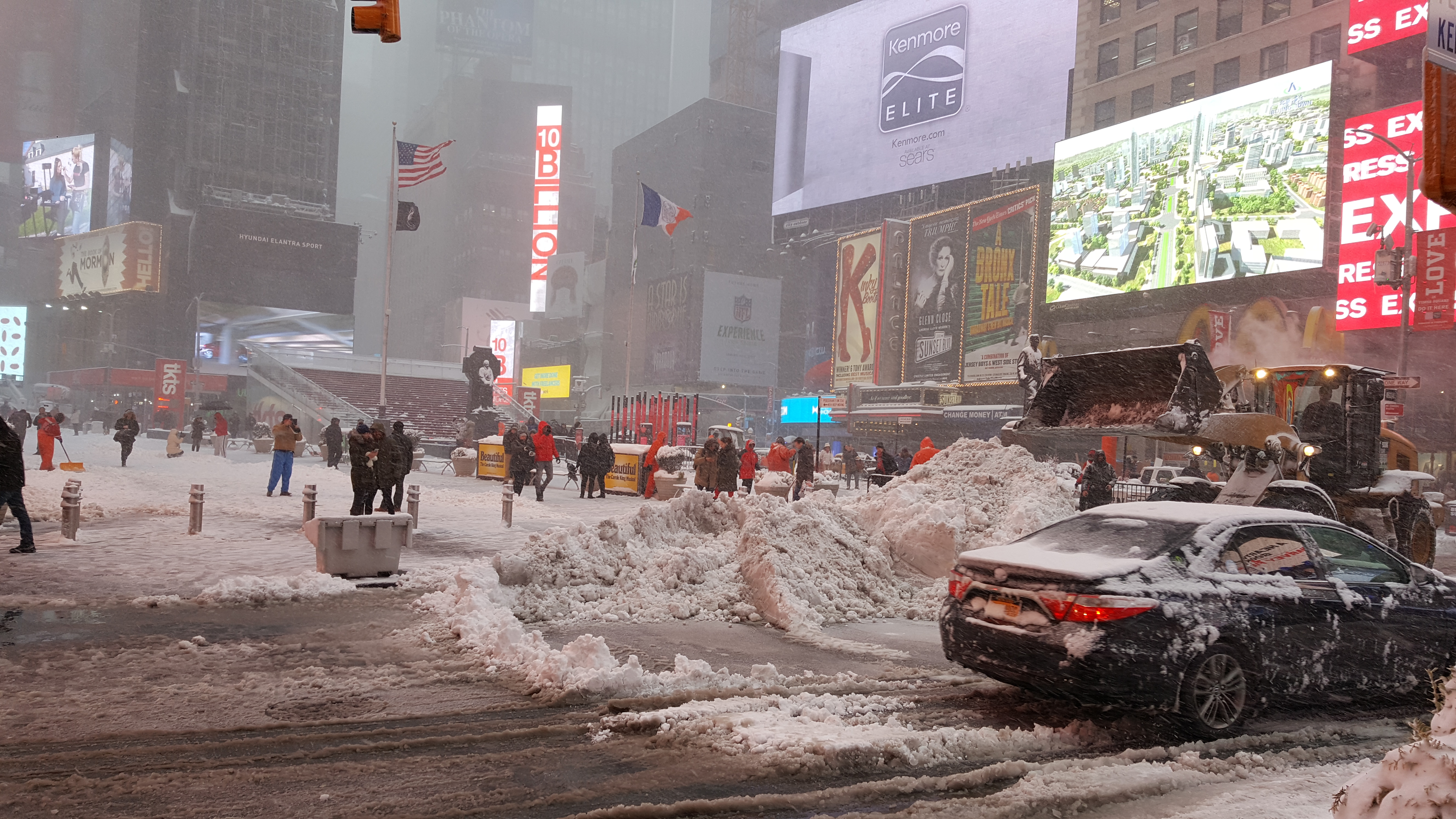
Update on Stella – For those of you who are in the Northeast, I just looked at the various forecast models. This is a very interesting storm system.. If you were to draw a line north/South on the Hudson River, anyone living East of that line would get sleet, freezing rain and ice….hence a wintry mix. This is due to the very warm air from the southeast, interacting with the Upper level low. Anyone living North/West of that line will get accumulations up to a foot +. How much and where the most snow falls depends on how much warm air overtakes the cold/arctic air. I do know that if you live on Long Island, you will not get much accumulation of snow than the folks in NYC. This is subject to change, and depends on where the surface low ends up….. but that is what all the forecast models are showing as of now. You could be getting rain/sleet, and drive 10 miles to the west and get blizzard conditions. Yes, the storm is that complex. The winds with this storm are the big story, as gusts up to 70MPH could hit the Tri-state area. In any case, be safe and be smart! The storm pulls out of the NYC area tomorrow night and another weaker system with snow/rain hits the tri-state area this weekend. Below temps for the Northeast for the next 10+ days! Enjoy Winter!
Update on West Coast/California – For those of who you want the rain/cold to return, there are signs that the pattern will be changing in the eastern pacific by early next week. Very warm temps to hit all the West Coast/So Cal area this week, with 80’s and 90’s all over the greater LA area. Enjoy the beach this week!!! The ridge breaks down this weekend with more normal/seasonal temps. More on the pattern change on Wednesday!
JM
